News and info from "The Island" known as Wilkshire Hills in Tuscarawas County, Ohio.
Saturday, March 12, 2011
Get out the life jackets, we're taking on water!
It's no longer a matter of if or when here in Northern Tuscarawas County, it's a happening now. Denise, Molly and myself went all over the area this morning to see what's going on with the water levels. Here's the breakdown.
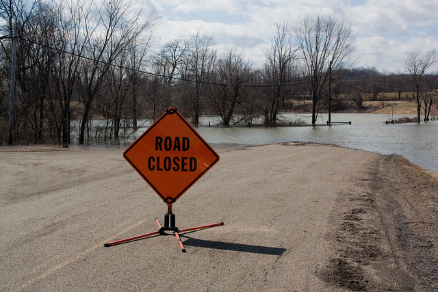
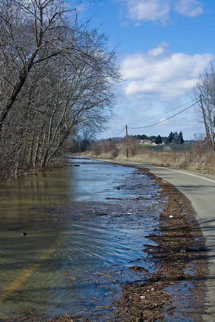
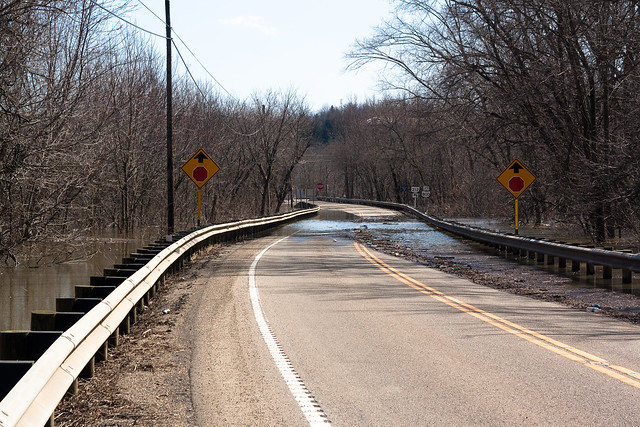
St. Rt. 212 is closed from Zoar to St. Rt. 800. SE of Zoar around the train bridge, the road is underwater. It continues to be underwater on and off all the way down to Rt. 800. Tusky Valley Road, the road leading to the high school and middle school, is underwater at the intersection of 212.
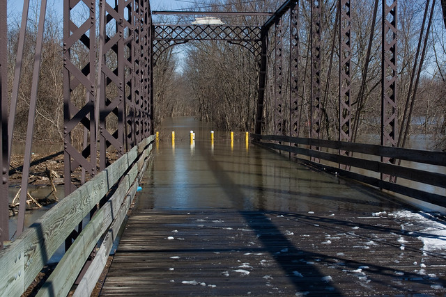
Tusky Valley Road and St.Rt. 212
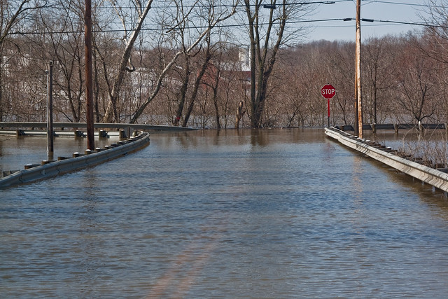
St. Rt. 212 near Zoarville.
St. Rt. 212 near Zoarville looking towards St. Rt. 800
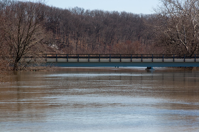
The water is starting to come up on the deck of the Zoar Bridge. The Dover-Zoar Rd. bridge appears to have several feet before that is in trouble.
The Zoar Bridge is getting wet again
Dover-Zoar Road bridge
St. Rt. 212 east of 800 is about to be covered. Water is on the road and the wind is pushing it further, along with the rising water. That will probably be closed soon.
Canal Road just south of 212 is closed.
Michael Lane just outside of Zoar is suppose to be blocked off by tomorrow. The water is creeping up on the road now.
St. Rt. 212 and Michael Lane, (Cherry Hill) intersection
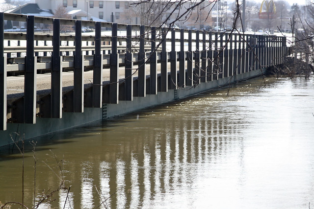
Water is touching the bottom of the bridge over the Tuscarawas River on 212 near the I-77 interchange. It doesn't look like water is going to cover it any time soon, but that all depends on what is released from the Bolivar Dam as well as whatever else we get from upstream. The snow has REALLY melted off that we had gotten yesterday.
The bridge over the Tuscarawas River near the I-77 interchange
There appeared to be at least four gates open at the Dover Dam. They need to open another, maybe.
Roads around the Atwood Lake region are also in jeopardy of being covered soon. The road leading to the Lighthouse Bistro is real close to being covered. Also noted that there is no water being released from Atwood Lake. Make sense because there is no place for it to go on the other side. The emergency overflow has a lot of water backed up onto it towards the bottom.
The homes south of Mineral City that are normally cut off, are. Like I stated yesterday, nobody is dying from this. Just an inconvenience and a bit of a pain in the rear. One that seems to be happening about every three years unfortunately. Would be nice if they got this figured out so it would stop happening.
Here's the full set of pictures from today.


No comments:
Post a Comment